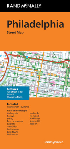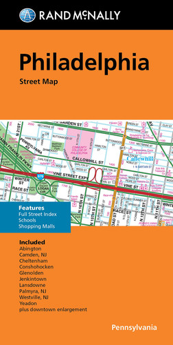
Rand McNally Folded Map: Philadelphia Street Map
Get This Book
Prices may vary. Links may earn us a commission and open external websites.
Publisher
Rand McNally
ISBN
ISBN-13: 9780528025211 ISBN-10: 052802521XSynopsis
Rand McNally's folded map for Philadelphia is a must-have for anyone traveling in and around this part of Pennsylvania, offering unbeatable accuracy and reliability at a great price. Our trusted cartography shows all Interstate, U.S., state, and county highways, along with clearly indicated parks, points of interest, airports, county boundaries, and streets. The easy-to-use legend and detailed index make for quick and easy location of destinations. You'll see why Rand McNally folded maps have been the trusted standard for years. - Regularly updated. - Full-color maps. - Clearly labeled Interstate, U.S., state, and county highways. - Indications of parks, points of interest, airports, county boundaries, schools, shopping malls, downtown & vicinity maps. - Easy-to-use legend. - Detailed & full street index. - Convenient folded size. Coverage Area Communities Included: Cheltenham, Collingdale, Colwyn, Derby, East Lansdowne, Folcroft, Glenolden, Jenkintown, Lansdowne, Millbourne, Narberth, Norwood, Rockledge, Sharon Hill, Yeadon plus downtown enlargement. Product Details: Measures 9.5' x 4' and folds out to 40' x 28'.
Dimensions
8.66 inches × 0.12 inches × 4.34 inches
0.12 pounds